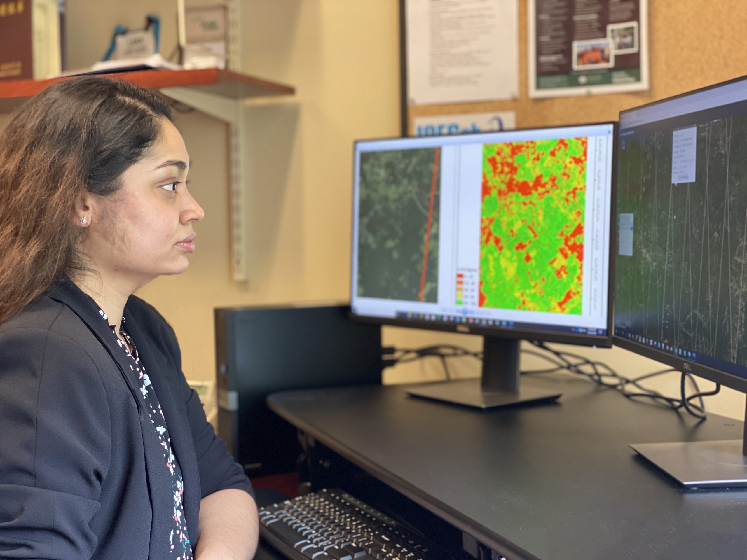
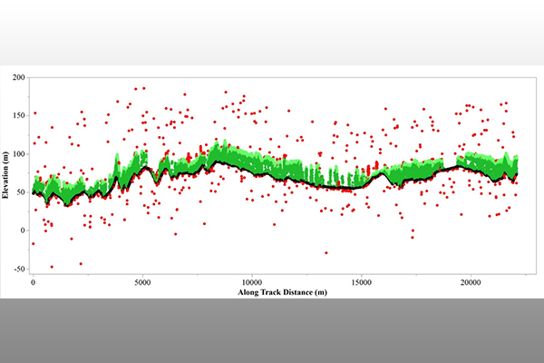
A research team co-led by an Auburn University scientist is the first to investigate and report methods for computing canopy cover from NASA’s Ice, Cloud and land Elevation Satellite 2, or ICESat-2.
Part of NASA’s Earth Observing System, ICESat-2 is a satellite mission for measuring ice sheet elevation and sea ice thickness, as well as land topography, vegetation characteristics and clouds.
In a recent study published in the journal, “Remote Sensing of Environment,” the team, co-led by Lana Narine, assistant professor of geospatial analytics in the College of Forestry, Wildlife and Environment, investigated methods to derive canopy cover and characterize the predictive capability, with ICESat-2.
Although a critical forest biophysical attribute, canopy cover is not yet reported from ICESat-2, and the last canopy cover product for the conterminous United States is from the year 2016. Thus, there is a need to better understand the application of ICESat-2 for providing canopy cover information and for potentially contributing to an updated canopy cover product.
“Canopy cover is a fundamental attribute of forest vegetation structure that is used to define a forest and support a range of applications, including assessing forest degradation, estimating habitat suitability and characterizing aboveground biomass,” said Narine.
Funded by a NASA ICESat-2 Science Team, Studies with ICESat-2 grant, the project highlighted the potential of applying freely and openly available earth observation data provided by the ICESat-2 mission for deriving canopy cover.
Using ICESat-2’s photon-counting light detection and ranging data and the mission’s vegetation product data, the study focused on two forested areas within the southern U.S., the Sam Houston National Forest, or SHNF, in southeast Texas and the Solon Dixon Forestry Education Center, or SDFEC, in southern Alabama.
The objectives of the study were to develop and evaluate equations estimating canopy cover with ICESat-2 and evaluate a modeling-based approach for improving estimates.
“The integration of data from a spaceborne light detection and ranging instrument like ICESat-2, presents a unique opportunity to integrate vegetation structural information over broad spatial scales,” said Janaki Alavalapati, dean of the College of Forestry, Wildlife and Environment.
Ongoing collaborative efforts of Narine and co-authors Sorin Popescu and Lonesome Malambo of Texas A&M University will include the development of a gridded canopy cover product using ICESat-2.
(Written by Jamie Anderson)


