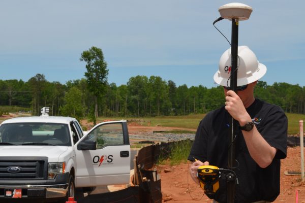
Auburn University will begin offering a new geospatial and environmental informatics, or GSEI, undergraduate degree this fall within the School of Forestry and Wildlife Sciences.
The degree program will be collaboratively taught by faculty from the School of Forestry and Wildlife Sciences and the Colleges of Agriculture, Sciences and Mathematics, Engineering and Business.
Geospatial technology refers to all of the software applications that are used to acquire, manipulate and store geographic information. Technologies such as geographic information systems, the global positioning system, satellite-based remote sensing and computer simulations are tools commonly used by all sectors of the economy for planning and decision-making.
Industry and government are increasingly reliant on geospatial technologies to manage the interface between human activity and the environment. These technologies are also employed for business purposes to forecast and analyze potential markets for retail and development. Graduates may become environmental consultants, community planners or resource managers, or within corporations as developers, analysts or data specialists.
With its diverse applications, the geographic information system industry is expected to experience continuous growth in the United States, requiring the number of geospatial workers to increase from its current 850,000 nationwide to around 1.2 million by 2018, according to GeoTech, a nonprofit coalition of educational institutions that supports geospatial technology education.
“GSEI graduates can anticipate a wide variety of career opportunities as planners, analysts, consultants, resource managers or developers within public agencies and government, private corporations, consulting firms, non-governmental and other international organizations,” said Janaki Alavalapati, dean of the School of Forestry and Wildlife Sciences.
The degree program is designed to provide students rigorous training in fundamental theories, concepts, quantitative tools, analytical technologies and research skills that are used to acquire spatially referenced information and to analyze spatial processes.
Scott Enebak, associate dean of academic affairs for the School of Forestry and Wildlife Sciences, said, “This interdisciplinary approach brings together information technology, spatial science, data analysis, natural resources and ecological modeling that enable us to apply science and new technologies toward the sustainable management of the natural world and the efficient use of resources.”
New faculty members Shufen Pan and Sanjiv Kumar, hired within the School of Forestry and Wildlife Sciences as part of Auburn’s Strategic Cluster Hire Initiative in Climate, Human and Earth System Sciences, will contribute their expertise to the degree curriculum.
The degree program has been aligned with the interdisciplinary Science, Technology, Engineering and Math, or STEM, program of the National Science Foundation designed to enhance knowledge across multiple fields including ecology, agriculture, geosciences, climate science and civil engineering. This approach prepares students to be successful and competitive in this diverse and rapidly growing job market.
The new geospatial and environmental informatics bachelor’s degree was approved by the Alabama Commission on Higher Education in March and is available for fall 2017 student enrollment. For more information about the degree, go to auburn.edu/sfws or contact the School of Forestry and Wildlife Sciences Office of Student Services at workingwithnature@auburn.edu.
(Written by Jamie Anderson)


