Copyright ©

- This event has passed.
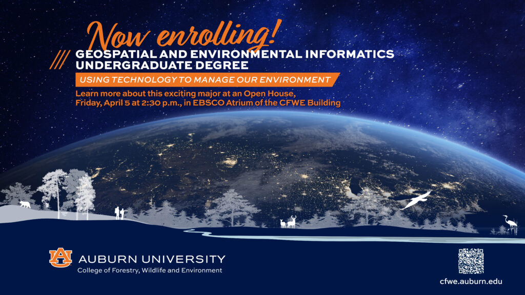
Geospatial and Environmental Informatics Open House
April 5 @ 2:30 pm - 5:00 pm

The College of Forestry, Wildlife and Environment will host an open house on Friday, April 5, for future students interested in the college’s newly restructured Geospatial and Environmental Informatics major. One of the few programs in the Southeast, Auburn’s Geospatial and Environmental Informatics (GSEI) undergraduate degree program employs a unique, interdisciplinary approach to teaching geospatial systems and technologies that provides students with expertise for careers such as environmental data scientist, geospatial analyst, or GIS manager.
With recent changes to the curriculum, the degree is more transfer-friendly for students who require greater flexibility and desire a more diverse skill set for various careers. The college has also revamped the course technology, including tools like geographic information systems (GIS), the global positioning system (GPS), satellite-based remote sensing, computer learning simulation and drone imaging. Today, GSEI courses are based on Python, the dominant data science and machine learning program. Employing this beginner-friendly language makes geospatial tools and data more accessible to learn.
Students interested in learning more about the major are invited to attend the GSEI Open House on Friday, April 5, at 2:30 p.m. at the Forestry, Wildlife and Environment Building at 602 Duncan Drive, Auburn, Ala. Attendees will enjoy refreshments in the EBSCO Atrium and opportunities to visit with GSEI students, faculty, and an academic advisor.


