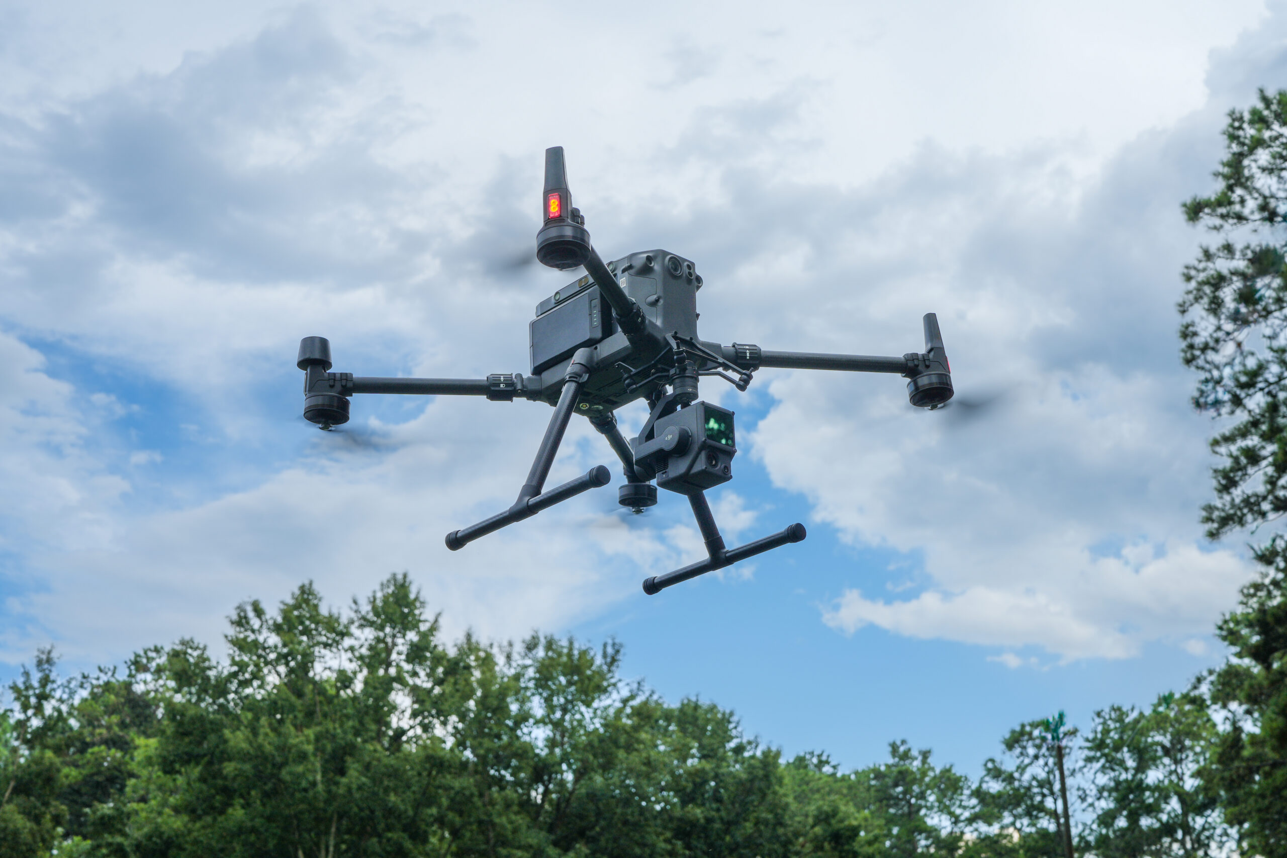
A lidar-equipped drone rises to start a forest mapping mission.
AI-equipped drones elevate Auburn’s impact and reach
Hovering above our forests, plains and waterways, drones give Auburn University researchers far more than a bird’s-eye view. Equipped with technologies such as thermal imagery, sensors and lidar, unmanned aerial systems (UAS) help gather important data about what is occurring in our atmosphere and across the landscape.
Faculty in Auburn’s College of Forestry, Wildlife and Environment (CFWE) are innovating their research with drone technologies to address natural resource challenges ranging from forest health, ecosystem monitoring and wildlife management to air quality and industrial emissions.
Zutao Ouyang, an assistant professor of ecosystem modeling in the CFWE, is performing various research studies using drones equipped with specialized sensors to detect and quantify methane emissions from landfills, oil and gas infrastructure, refineries and compressor stations.
“Using the sensor-equipped drones, we’re currently capturing detailed measurements of methane emissions from a South Carolina landfill and validating those results against traditional atmospheric monitoring data,” said Ouyang. “This work has the potential to enhance how communities and industries monitor and manage greenhouse gas emissions.”
Ouyang is also using drone imagery to monitor land use and land cover change, including wetland dynamics, forest loss and recovery, settlement development and changes in vegetation health and productivity.
In forestry and natural resource management, drones provide unprecedented detail about the condition and structure of forest ecosystems. The Geospatial Analytics Lab, led by Lana Narine, associate professor of geospatial analytics, combines drone-based lidar, multispectral imaging and machine learning to map forest structure, identify tree species, estimate biomass and detect forest health threats such as brown spot needle blight with high accuracy.
Narine says UAS technologies are transforming the way people understand, manage and monitor ecosystems by providing unprecedented insights into the structure, composition and health of landscapes.
“Our research advances drone-based approaches that bridge the critical scale gap between traditional field inventories and broad-scale satellite remote sensing, enabling more detailed and timely ecological assessments,” said Narine.
Ultimately, these drone-based frameworks generate high-resolution digital models of forest ecosystems that improve ecological understanding, support sustainable management and provide essential data to validate satellite-based monitoring systems.
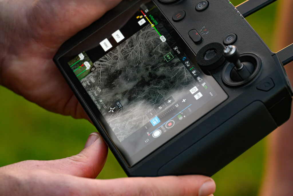
Using a drone equipped with thermal imaging software, researchers conduct a thermal drone survey at the Auburn University College of Forestry, Wildlife and Environment Deer Lab.
Tech-empowered discovery, stewardship and service
Richard Cristan, an Extension specialist and the Regions Bank Endowed Associate Professor of Forest Operations in the CFWE, has been using drones for his teaching, research and extension work since 2020.
On campus, Cristan incorporates drones into his course lectures and labs to teach students about their use in forestry and natural resource management. In his role as an Alabama Extension specialist, Cristan regularly gives presentations and demonstrations to forest landowners and agency personnel on drone applications and teaches about the regulations and requirements governing their use in the U.S.
“As a research tool, drones have been incredibly useful for our team to evaluate hurricane storm damage, assess forestry best management practices and estimate soil erosion risks following timber harvests,” said Cristan.
Marissa Jo Daniel, an assistant professor of forest operations, is helping the industry to more accurately determine a mill’s wood inventory within its woodyard and other storage facilities using various flight techniques equipped with technologies such as photogrammetry software and lidar.
“I am also using sensor-equipped drones to evaluate air quality following site preparation and prescribed fires,” said Daniel. “We use the drones to collect emissions data such as particulate matter to determine potential risks in a 24-hour period following a burn.”
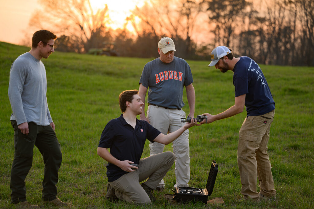
The Auburn Deer Lab conducts a thermal drone survey in Camp Hill, monitoring wildlife as part of research in the College of Forestry, Wildlife and Environment (CFWE) at Auburn University.
At its 430-acre research facility, Stephen Ditchkoff’s Deer Lab is advancing wildlife science research by testing the effectiveness of using drones to capture thermal imagery for estimating white-tailed deer populations.
“By analyzing the technology’s precision and accuracy, the team is helping shape best practices for deer management and population monitoring,” said Ditchkoff, the Alumni and William R. and Fay Ireland Distinguished Professor of Wildlife Ecology and Management in the CFWE. “We’re at the cutting-edge of drone use at the Deer Lab and anticipate the knowledge gained and disseminated to landowners, conservation groups and agencies will have long-term impacts for the white-tailed deer hunting industry.”
Across the many research disciplines within the CFWE, Auburn faculty are integrating AI-driven drone technologies to develop next-generation monitoring tools that enhance ecological understanding and support solutions.
“Our faculty are transforming how we study and manage natural systems, providing new opportunities to tackle complex environmental challenges,” said Janaki Alavalapati, the Emmett F. Thompson Dean of the CFWE. “Their dedication to leveraging these powerful tools is driving innovation across our teaching, research and outreach missions, empowering us to deliver greater value and create lasting impact for students, stakeholders and communities across Alabama and beyond.”