Geospatial Information Science
One of the few programs offered in the Southeast, the Geospatial Information Science major brings together information technology, spatial science, data analysis, natural resources and ecological modeling to prepare students for in-demand technological careers that harness “Big data” for decision-making.

LEARN FROM THE LANDSCAPE
Located in the East Central region of Alabama, the Auburn University College of Forestry, Wildlife and Environment (CFWE) offers easy access to the abundant forests, rivers, streams and other waterways that make this state one of the most biologically diverse in the nation. Stretching from the Gulf of Mexico to the Tennessee Valley, Alabama’s diverse natural habitats make a one-of-a-kind living laboratory, providing students valuable hands-on opportunities to study ecosystems, conservation and sustainable resource management. With more than 6,000+ acres dedicated to outdoor learning, the CFWE offers an unparalleled student experience, industry-relevant career preparation and a transformative education that delivers exceptional value both inside and beyond the classroom.
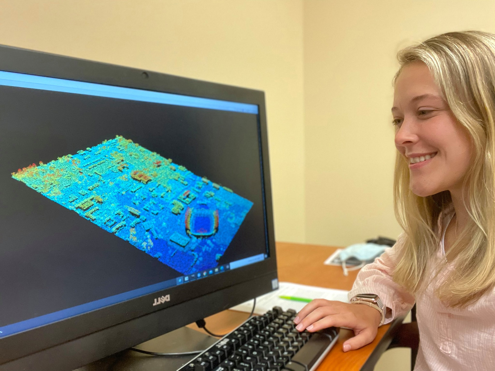
Geospatial technologies such as geographic information systems (GIS), the global positioning system (GPS), satellite-based remote sensing, AI and computer learning and simulations are tools commonly used today by all sectors of the economy for planning and decision making. These technologies have penetrated every aspect of our lives, from digital maps in vehicles to business forecasting and planning, to the management and maintenance of city infrastructure, regional forests and agricultural lands. Owing to the increased reliance on geospatial technologies within industry and government, career opportunities in GIS-based fields are growing exponentially each year. The Geospatial Information Science (GSIS) major prepares students to explore and apply these new technologies and science to the sustainable management of the natural world and the efficient use of resources.

This major is collaboratively taught by world-renowned faculty from the College of Forestry, Wildlife and Environment, and the Colleges of Agriculture, Sciences and Mathematics, Engineering and Business. Aligned with the National Science Foundation’s interdisciplinary Science, Technology, Engineering and Math (STEM) program, it is designed to enhance knowledge across multiple fields, including ecology, agriculture, geosciences, climate science and civil engineering. This approach prepares students to be successful and highly competitive in a diverse and rapidly growing job market. Follow the link below to find information about the courses offered in this program.
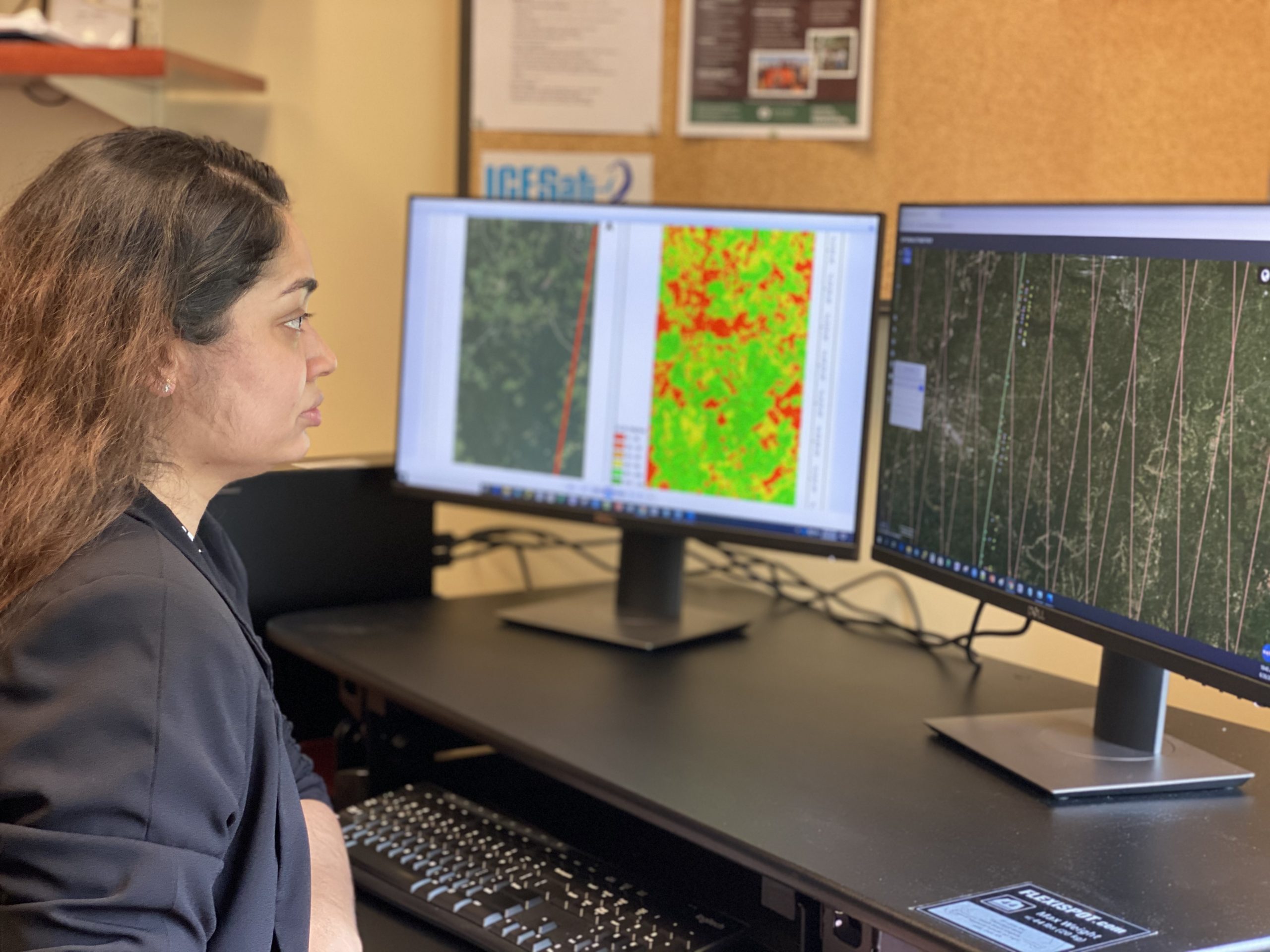
Professionals are in high demand for collecting, collating, modeling, analyzing, visualizing and communicating geospatial information. Graduates can anticipate a wide variety of careers within public agencies and government, private corporations and consulting firms, such as:
- Data and information specialists
- Ecosystem modelers
- Business analysts
- Environmental consultants
- Land use and resource planners
Learn more about the diverse career opportunities available with a degree in Geospatial Information Science!